
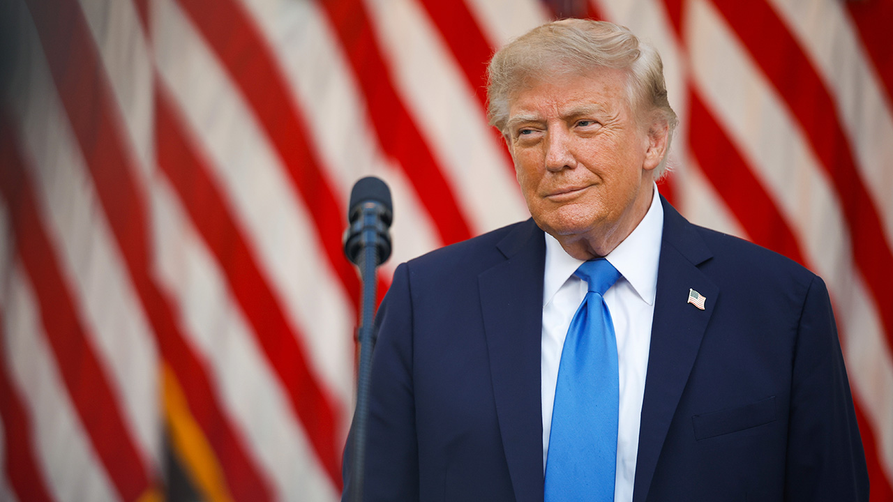
President Donald Trump posted a map on Monday showing Canada, Mexico, Central America, Greenland, Iceland, and parts of the Caribbean as territories of the United States of America.
The president shared the image depicting several foreign countries covered by the American flag on his social media platform Truth Social.
Trump has previously expressed interest in making Canada the “51st state.” He is currently involved in a trade war with America’s northern neighbor. After Trump announced he will impose tariffs on Canadian cars, Canada retaliated with a set of tariffs on over 700 American goods.
He recently renamed Lake Ontario to “Lake America.”
Greenland, the world’s largest island, is an autonomous territory within the Kingdom of Denmark. While Trump has ruled out using force to acquire it, he has said that Denmark should hand over the country to the United States.
Trump has not previously discussed annexing Mexico and the Caribbean islands. But the map includes Cuba, which Trump has said is “next” on the administration’s regime change agenda.
Over the weekend, Trump posted an image of the state of New Mexico being renamed as “New America.”