
Federal forecasters issued a warning Wednesday that El Niño is expected to arrive within weeks and could intensify into one of the most powerful climate events on record, with wide-ranging consequences for hurricane activity, rainfall and temperatures across the United States and beyond.
According to a NOAA Climate Prediction Center forecast released Wednesday, El Niño is likely to emerge soon, with an 82% probability of forming between May and July, and persist through the Northern Hemisphere winter of 2026–27, according to USA Today, which reported on the new advisory. The odds of it lasting through the December–February winter period stood at 96%, the outlet reported.
The updated forecast puts the odds of El Niño reaching “strong” or “very strong” peak intensity at roughly 2 in 3, and some climate scientists say conditions could produce what is informally called a “Super El Niño” — defined by Pacific water temperatures running more than 2 degrees Celsius above average — though forecasters caution that uncertainty remains significant.
“There is a 2-in-3 chance of a ’strong’ or ’very strong’ El Niño during the November 2026 to January 2027 season,” said Michelle L’Heureux, physical scientist and NOAA’s ENSO team lead. “Please keep in mind this is our best estimate with the information we have now, but these odds will shift in the months ahead depending on how El Niño evolves. There is still enough uncertainty that seeing a weaker outcome would not be a surprise.”
NOAA also noted that “stronger El Niño events do not ensure strong impacts; they can only make certain impacts more likely.”
El Niño is a natural climate pattern in which surface seawater temperatures in the central and eastern tropical Pacific Ocean run warmer than average. The full cycle is formally called the El Niño–Southern Oscillation, or ENSO, and swings between warmer and cooler phases on an irregular cycle of roughly two to seven years. Its opposite phase, La Niña, is defined by cooler-than-average Pacific waters.
The accelerating timeline has drawn attention from forecasters worldwide. NOAA’s previous April advisory had placed a 61% probability on El Niño forming between May and July, with a 1 in 4 chance of a very strong event — figures that have since been revised upward based on a growing pool of warm water building in the depths of the central and eastern equatorial Pacific, which forecasters expect to rise to the surface and fuel El Niño’s development.
What it means for hurricane season
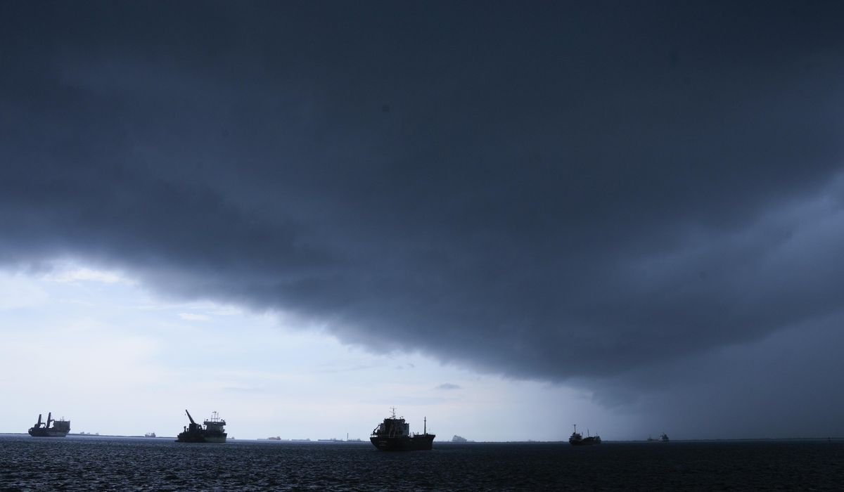
The forecast carries significant implications for the Atlantic and Pacific hurricane seasons, which run June through November. El Niño characteristically pushes storm activity in opposite directions depending on the ocean basin.
“Simply put, El Niño favors stronger hurricane activity in the central and eastern Pacific basins, and suppresses it in the Atlantic basin,” NOAA has said. The mechanism is increased wind shear over the Atlantic, which tends to tear apart developing storms before they can organize.
That could be welcome news for residents along the Gulf Coast and Eastern Seaboard. A strong El Niño is expected to suppress hurricane formation across the open waters of the Atlantic while steering a wetter, stormier jet stream pattern across the southern United States — though Fox Weather reported that pattern could still generate some tropical activity in the northern Gulf and along the Southeast coast.
For the Pacific, the picture is more active. Matthew Rosencrans, NOAA’s lead hurricane seasonal forecaster, noted that the central Pacific often sees busier seasons during El Niño years, though he cautioned that the science does not support specific predictions about individual storm impacts from a single ENSO phase. Most Pacific storms curve west and never make landfall; on average, only about a quarter of eastern Pacific hurricanes and tropical storms reach land, according to NOAA.
Global weather effects
Beyond hurricanes, El Niño loading onto already elevated global temperatures increases the likelihood that 2026 or 2027 could rank as the warmest year on record, CNN reported Wednesday, citing the new NOAA forecast. NOAA has separately assessed it as “very likely” that 2026 will rank among the five warmest years even before El Niño’s full influence takes hold.
The World Meteorological Organization has noted that El Niño typically brings increased rainfall to parts of southern South America, the southern United States, the Horn of Africa and central Asia, while triggering drought across Australia, Indonesia and parts of southern Asia. The WMO has attributed prior record global heat in part to El Niño combined with long-term warming from greenhouse gas emissions.
For the domestic outlook, Brad Pugh, a meteorologist with NOAA’s Climate Prediction Center, said the pattern’s influence on summer temperatures in the U.S. is limited, though the Pacific Northwest tends to run warmer than normal. The stronger effects arrive in winter, when the northern tier of the country faces elevated odds of above-average temperatures, while the Southeast and Gulf Coast would likely see above-normal precipitation.
This article was constructed with the assistance of artificial intelligence and published by a member of The Washington Times’ AI News Desk team. The contents of this report are based solely on The Washington Times’ original reporting, wire services, and/or other sources cited within the report. For more information, please read our AI policy or contact Steve Fink, Director of Artificial Intelligence, at sfink@washingtontimes.com
The Washington Times AI Ethics Newsroom Committee can be reached at aispotlight@washingtontimes.com.