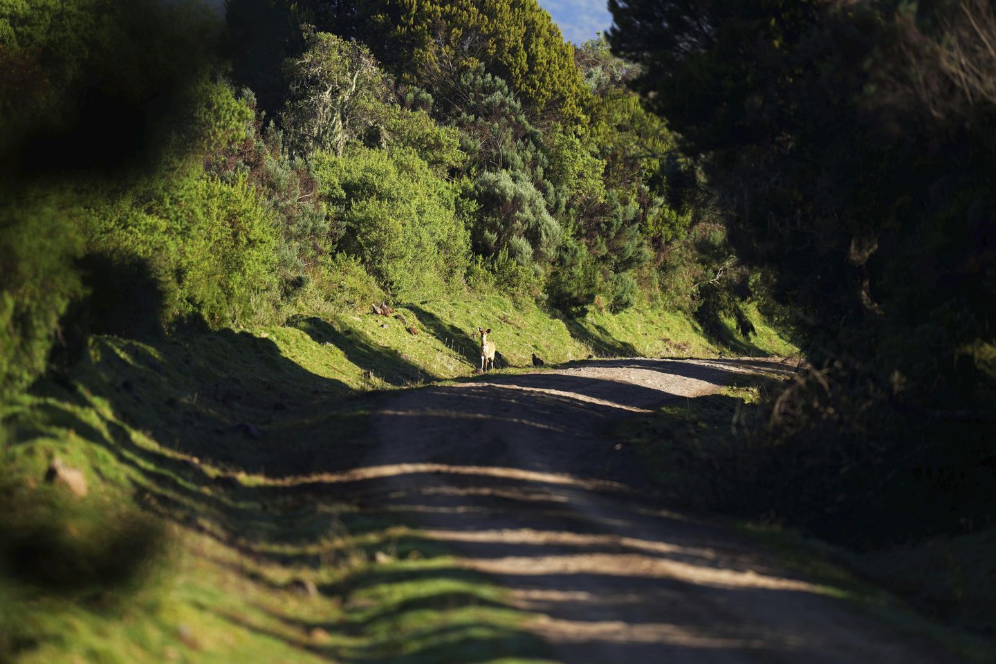
ABERDARE RANGE, Kenya — In a dense layer of green thousands of feet above sea level, cedar, podo and hegeina trees pattern the landscape, thick moss hanging from their branches and feathery lichen attached to their barks. Numerous streams and rivers flow between them, plunging over steep waterfalls. Buffaloes, bushbucks and monkeys roam in search of pastures.
This is the Aberdare Range, a forest and mountain range in central Kenya that’s one of the country’s main water sources and a key wildlife habitat.
But it may not remain the same.
The Kenyan government wants to build a 32-mile tarmac road to connect two counties, and the country’s environmental agency, the National Environment Management Authority, issued an environmental impact assessment license for the project last month. The project would cut through 15 miles of closed canopy forest and likely increase vehicle traffic into animal paths.
Residents are optimistic the project could improve their lives. But scientists and conservationists fear irreparable damage to the ecosystem. Threatened tree species could get cut down, animals could get hit by vehicles, the road would cut across moorlands – fragile areas for water catchment – and invasive species and pollutants could enter the park through vehicles.
Those in favor of the project, including Kenyan President William Ruto, say it carries economic benefit, arguing that by directly connecting the agricultural counties of Nyeri and Nyandarua, the road would increase trade and uplift livelihoods. Most Kenyans live on a few dollars a day, and in the rural, agricultural areas where the roads will connect, the proposed project has supporters.
To transport farm produce and other goods from Nyeri town in Nyeri county to Ndunyu Njeru town in Nyandarua county and back, Francis Kibue, a lorry driver based in Nyeri, circumvents the Aberdare Range using a tarmac road, covering a distance of 118 miles. But the road through the forest and national park would reduce the journey to 40 miles.
“If you use the new road, you can even do two trips. Because you’ll go, arrive, come back, get more goods, and go back,” he said.
The proposed tarmac road, named Ihithe–Ndunyu Njeru Road, would upgrade of a backbreaking dirt road that’s usually used by visitors to the forest and park but rarely by the general public.
In Ndunyu Njeru, a small farming town that’s dotted with single-story buildings, chief Grace Ngige said she has “no objection to the road. It’s development.” She added a raft of reasons: increased trade between Nyeri and Nyandarua, better access to the Nyeri market for farmers, less distance to cover by students who study in Nyeri, and more tourists from the east for Nyandarua.
In both towns, operators of matatus, vans that transport people, are excited about the prospects of the road, saying it would open up new routes on both sides, bringing in more business.
“We feel very happy, and we thank the country’s leaders for coming together and deciding to open this road,” said matatu operator Patrick Maina in Ndunyu Njeru.
President Ruto has firmly pushed for the construction to start. On different occasions since taking office in 2022, he has called out opposition to the construction plan, insisting that the project proceed before receiving environmental approval by NEMA and objections by conservationists.
“Do you want us to build this road or to wait until the judiciary tells us to do so?” he asked at an event last month, before instructing an official of the roads ministry to allocate funds for the construction.
Environmentalists and political analysts say that is tantamount to political interference and may have affected NEMA’s independence in decision-making.
In response to written questions, Ali Mohamed, Kenya’s special climate envoy, said the president is “committed to sustainability and gives priority to matters climate action and environmental conservation.”
The proposed construction also brings attention to national concern on the president’s recent trend of defying and criticizing courts and other independent bodies that make decisions against his administration’s plans. He has repeatedly threatened to remove judges he accuses of frustrating his projects.
“It is simply intimidation,” said Herman Manyara, a Nairobi-based political analyst. “Once you have established institutions to ensure regulations are followed, those institutions must be respected.”
The license issued by NEMA since Ruto’s comments has given environmentalists cause for concern. It’s valid for two months, “time within which the project shall commence,” it says.
NEMA says the road width should be reduced from 40 meters (131 feet) to 25 meters (82 feet). But conservationists say any upgrade of the existing road to make it open to all traffic would be detrimental. According to the license, 75 hectares (185 acres) of bamboo, 14 hectares (35 acres) of montane forest and 14 hectares of moorlands would be destroyed in the construction.
Conservationists have long called for the Kenya National Highways Authority – who first proposed the road in 2009 – to find alternative routes across and around the Aberdare Range that have minimum environmental impact. Some have set up online petitions.
As one of Kenya’s five major water towers – places that absorb and store water naturally then release it into rivers and lakes – the Aberdare Range provides most of the water used in the capital, Nairobi, and also supplies water to the Seven Forks hydroelectric power stations, key generators of electricity in the country.
The road may attract human settlement, and with time, fires and grazing would suppress the growth of the vegetation that enables the Aberdare Range to catch rain, said Simon Onywere, associate professor of environmental planning and management at Kenyatta University. The potential damage would take decades to reverse, he said.
“Water is everything. If we live via water, we must not add something that reduces our ability to use it,” he said.
The forest reserve also has Indigenous trees such as the sycamore fig and African cherry, and threatened species like parasol tree, Monterey Pine and African cherry. It has some of the fewer than 100 remaining critically endangered mountain bongos in the world, alongside rhinos, elephants, buffaloes, lions, leopards and others. UNESCO classifies the Aberdare Mountains as a World Heritage Site.
The 296-square-mile Aberdare National Park also attracts thousands of local residents and foreigners who pay park fees to see animals roam. Tourism is a major income earner for the country, with hundreds of thousands of people employed in the sector.
“This is the one road that a lot of people that come here to see the wildlife will take,” said Isabelle Aron, a tourist visiting the park. “Turning that into commercial is going to be taking away from why people come to the Aberdares.”
The moorland areas where the road would pass through have large populations of elephants that “cross almost all over,” said Christian Lambrechts, executive director of Rhino Ark, a conservation trust, adding that it would destroy their habitats and cause disturbance to them during and after construction, endangering both the animals and road users.
Conservationists are urging for development not to come at the cost of the environment.
“The disconnect between man and the environment,” said Onywere, “is that he’s not able to see what the environment is doing for him.”


